

Water managers will release an extra 500,000 acre-feet of water from Flaming Gorge reservoir this year to help raise the troublingly low levels at Lake Powell — but how much of that water actually makes it down to the Utah lake for storage?
This summer, the Upper Colorado River Commission, or UCRC, an interstate agency that administers Colorado River water in the Upper Basin, plans to study that question.
“We’re going to monitor and measure and come to a better understanding of the transmission losses,” UCRC Executive Director Chuck Cullom said.
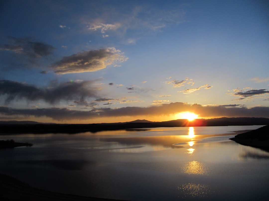
As the water that’s released from Flaming Gorge travels a few hundred miles down the Green River, where it eventually connects with the Colorado River in Canyonlands National Park before flowing into Lake Powell, some will be lost to evapotranspiration, a natural process in which water transfers from the land into the atmosphere.
Cullom said that Bureau of Reclamation operations models typically show between a 5% and 10% loss as water releases are tracked downstream, a technical process known as shepherding. But, he said, that’s an average estimate for the year, and the amount of water lost during the transfer process varies depending on the season. During the warmer summer months more water is lost to evaporation. More water is also lost when trees and plants are growing more, Cullom said. During peak flows, water can seep into wetlands and might not make it back to the river.
“We’re going to learn in this process what to expect from future releases,” he said.
Cullom said this study, which will involve analyzing stream gauge data as well as some field work, will be the most in-depth recent assessment of its kind. He said these types of transmission-loss questions were studied back in the 1950s and 1960s. UCRC is in the process of hiring a consultant for the work, and should be up and running in July.
“There will be a detailed evaluation of the difference between the volume released as measured at the dam and the incremental change in flow downstream as measured by stream gauges,” Cullom said.
Although the 2022 Drought Operations Plan the four Upper Basin states approved in April tapped Flaming Gorge for water, the plan did not include releases from Blue Mesa reservoir west of Gunnison. Some 2022 Drought Plan scenarios initially considered, however, did include a 100,000 acre-foot release from Blue Mesa. The finalized plan does not rule out the possibility of sending Blue Mesa water down to Lake Powell sometime this year.
Last year, the Department of the Interior pursued emergency action that included releasing 36,000 acre-feet from Blue Mesa and 125,000 acre-feet from Flaming Gorge to help prop up the water level at Lake Powell. Those releases forced an early end to seasonal boating at Blue Mesa last year, and the marinas did not open at all this year.
Powell currently sits about 3,530 feet above sea level; 3,490 feet is the level at which Glen Canyon Dam can no longer generate hydropower, known as “minimum power pool.”
The amount of water projected to flow into Powell this spring and summer is about 59% of average when compared to data from the past 30 years. Some projections suggested the levels at Powell could come close to reaching the minimum power pool level as early as spring 2023.


Comments are closed.