Regional trail projects include eye toward inter-county paved routes
Wasatch County now has 150 miles of trails, and the Mountainland Association of Governments says some of those could one day connect into Summit County.
“We have a lot of similar transportation needs, both in roads and trails,” says Don Taylor, Wasatch County regional trail planner for the Mountainland Association of Governments. “So we’ve been working on trying to get the Rail Trail connected across Richardson Flat to our new Jordanelle Parkway Trail that goes around the Jordanelle park. And so it’d be great to be able to connect, you know, Jordanelle up to Park City via the Rail Trail.”
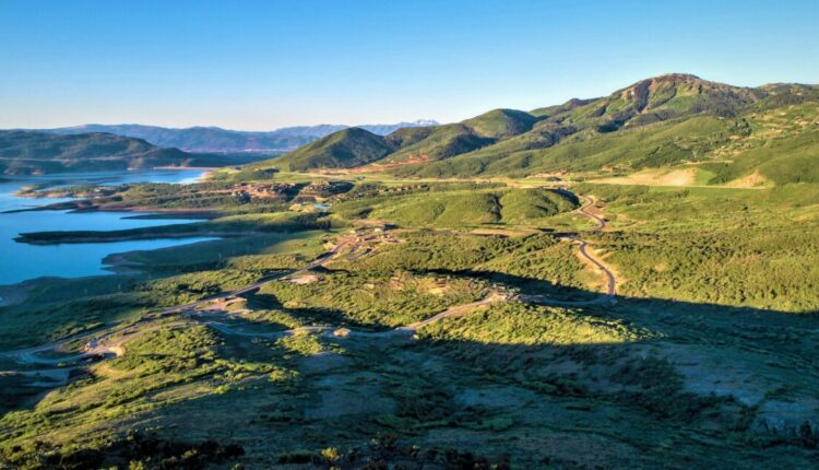
The Jordanelle State Park features beginner, intermediate and expert hiking and biking trails just inside the Wasatch County line. The Jordanelle Parkway Trail is a paved 4-mile route that runs north of the Jordanelle Reservoir.
Wasatch County Planning Director Doug Smith says connecting trail systems between Wasatch and Summit counties is feasible.
“I think we’re pretty close actually,” Smith says. “We’ve got the trail that connects from the marina at Jordanelle along the parkway and goes up to Brown’s Canyon intersection, and then connects to the county line at the rail bed there. So the idea was that we would work with state parks to bring the trail from the county line into the existing Rail Trail and Park City.”
On the other side of the Heber Valley, a trail coming out of Provo Canyon to the Deer Creek Dam and Soldier Hollow is funded and approved. Digging there could begin in March 2023. That’s according to Wasatch County Council Chair Mark Nelson, who attended a recent meeting with the Utah Department of Transportation.
Smith says the county’s seeking grants to extend that system into Midway. Those trails could be asphalt trails as well.
“We’ve talked about paving the section from the Deer Creek Dam up to Soldier Hollow,” Smith says. “The intent would be to have that asphalt so it is the same as the Provo Canyon Trail, and then the trail that starts again at Soldier Hollow and heads towards Highway 113 and Midway is going to be asphalt as well. So that’s ultimately the desire, but it’s how much money can we come up with and matching grants and that type of thing.”
Above Midway, the Wasatch Over Wasatch Trail runs nearly all the way up to the trails on the western side of Bonanza Flat . Smith says that could be another way to connect the counties.
As a coordinator for the use of trail funding between Wasatch, Summit and Utah counties, the Mountainland Association of Governments aims to support these possible connections. According to Taylor, that vision also involves connections into Salt Lake City through the Crest Trail. That currently runs from the Salt Lake Valley to near Guardsman Pass.


Comments are closed.